The Bayfront Community Redevelopment Area
Palm Bay's eastern waterfront, the original 19th-century Tillman footprint, has been the focus of a Community Redevelopment Area since 2003. The CRA is a $50 million-plus reinvestment effort aimed at the part of the city the GDC era left behind. Progress has been slow.
Palm Bay’s eastern waterfront, the half-mile strip between U.S. 1 and the Indian River Lagoon south of the Palm Bay Road causeway, is the oldest part of the city. It’s also the part the GDC era largely left behind. The Bayfront Community Redevelopment Area, established by the City of Palm Bay in 2003, is the formal mechanism the city has been using since then to try to reinvest in this section.
The CRA is a legitimate, statutorily-defined Florida redevelopment district. It is also a slow-moving project that has accomplished less than its founders hoped and has spent more than they anticipated.
What the CRA covers
The Bayfront CRA boundary runs roughly along U.S. 1 to the west, the Indian River Lagoon to the east, the city’s northern limit at the Eau Gallie/Melbourne line to the north, and a south boundary that has shifted slightly over the years but generally aligns with the southern extent of the older residential neighborhoods east of U.S. 1.
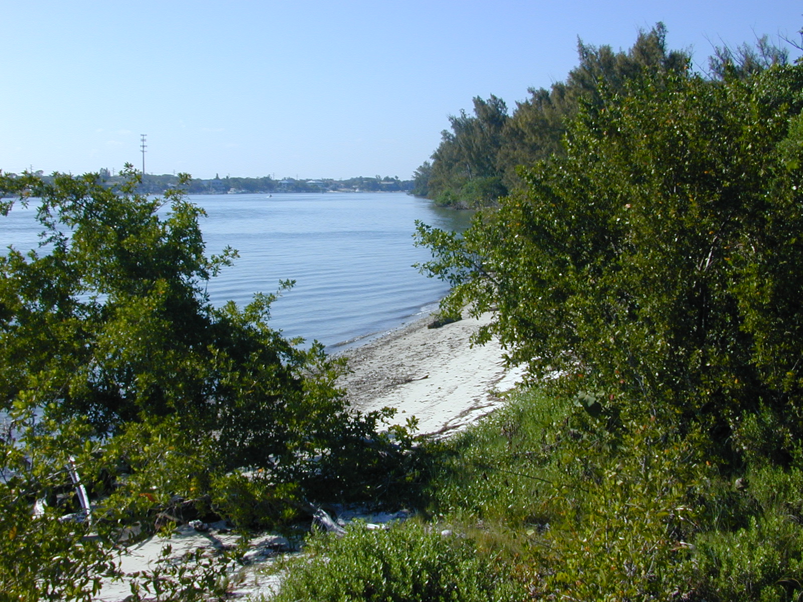
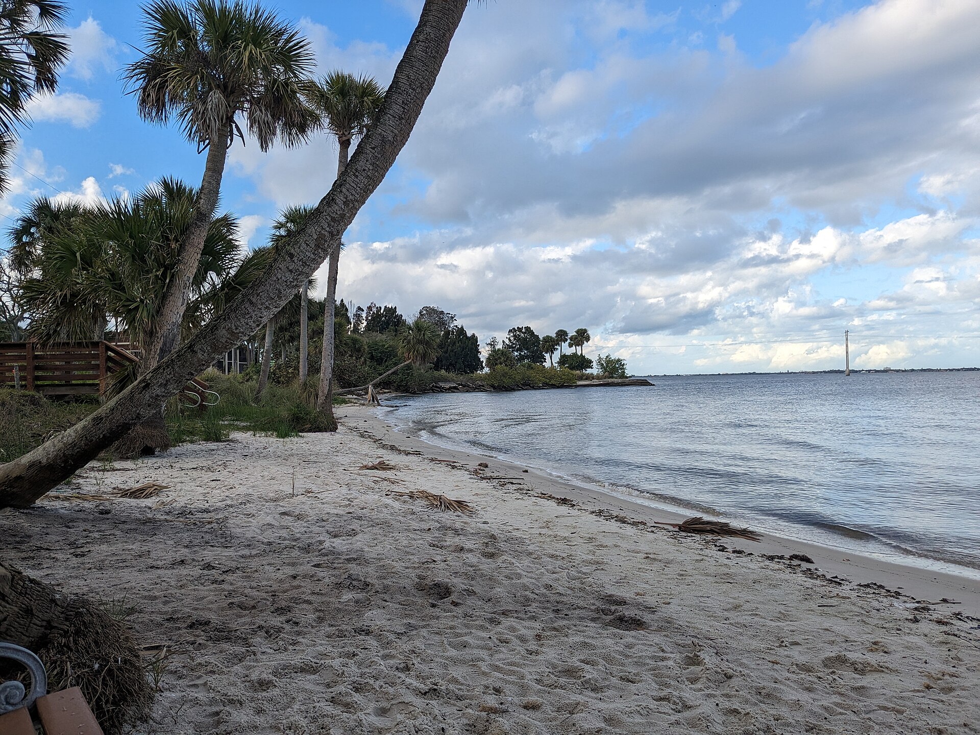
Total area is approximately 1.5 square miles. Total population within the boundary is several thousand. The district includes a mix of older residential housing (some predating GDC), small commercial buildings on U.S. 1, the city’s historic downtown around Dixon Boulevard and U.S. 1, and a stretch of underutilized lagoon frontage.
Why a CRA was justified
Florida Statutes Chapter 163, Part III, allows municipalities to establish CRAs upon a finding that a defined area suffers from slum or blight conditions. The findings required include things like inadequate infrastructure, vacant or deteriorated structures, defective or inadequate street layout, faulty lot layout, deterioration of site or improvements, unsanitary or unsafe conditions, and certain other factors specified by statute.
Palm Bay’s 2003 findings, supported by a redevelopment-area study commissioned by the city, identified multiple qualifying conditions in the Bayfront area. The strip development along U.S. 1 had a high vacancy rate. Residential parcels east of U.S. 1 included substandard housing. Infrastructure (drainage, sidewalks, lighting) was inadequate compared to GDC-era newer neighborhoods. The lagoon frontage was largely undeveloped or developed with low-intensity uses.
The CRA established a tax-increment financing district. Property tax revenues from the district above a 2003 baseline are diverted into the CRA’s redevelopment fund. The increment is reinvested into projects within the district, financed either pay-as-you-go or through bond issues secured against future increment.
What’s been built
The CRA’s accomplishments by 2026 include:
A multi-year infrastructure improvement program covering streetscape, sidewalks, lighting, and drainage in the older residential streets east of U.S. 1.
Several public-private partnerships involving the redevelopment or renovation of specific commercial properties along U.S. 1.
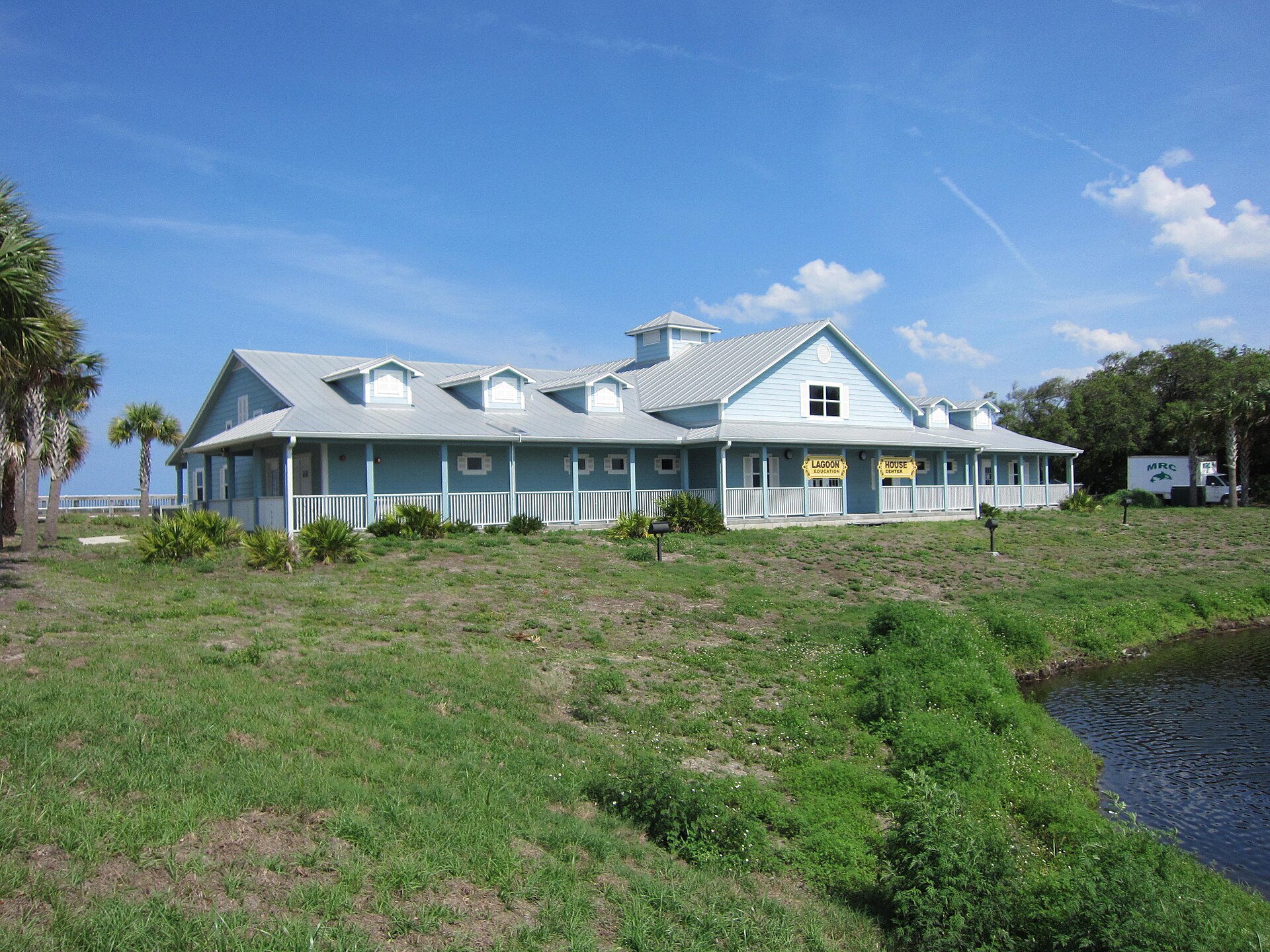
The waterfront park improvements at Palm Bay Riverfront Park, including dock improvements, pavilion additions, and pedestrian access enhancements.
A facade improvement grant program for U.S. 1 businesses, which has paid for paint, signage, and storefront work at several dozen properties.
Acquisition of selected parcels for future redevelopment or assemblage.
What hasn’t happened
The CRA’s announced ambitions, as articulated in successive master plans and strategic documents, have consistently outrun the actual execution. The waterfront mixed-use development that has been a stated goal since the CRA’s founding has not been built. Major private investment in the district has been intermittent. The U.S. 1 corridor remains dominated by the same mid-century strip development pattern, with patchy improvements rather than coherent redevelopment.
The reasons are not unique to Palm Bay. CRAs in Florida and elsewhere are slow vehicles. Tax-increment revenue ramps gradually as property values rise; the rise depends on the redevelopment itself, creating a chicken-and-egg dynamic. Private developers prefer greenfield projects on GDC-era platted lots in west Palm Bay over infill projects in the older eastern neighborhoods. Construction costs since 2020 have made the economics of infill harder than they were a decade ago.
The CRA’s annual budget runs into the millions, but the cumulative spend over twenty years is still well below what would be needed to materially transform a 1.5-square-mile district. The CRA in Palm Bay is, in effect, a slow capital improvements program for the city’s older neighborhoods, with periodic injections of redevelopment-specific projects.
The tradeoff
Tax-increment financing diverts revenue. The county school board, the county itself, and the special taxing districts all forego their share of incremental property tax revenue within the CRA boundary while the CRA is in effect. Florida’s CRA framework has been controversial for exactly that reason: the redevelopment authority captures revenue that would otherwise flow to other taxing entities.
In practice, the diverted revenue is often described as money that wouldn’t have existed without the redevelopment, since the redevelopment is what’s driving property values up. That argument is partly true and partly an oversimplification. Some of the incremental value within a CRA would have occurred anyway through general market appreciation. Some is specifically attributable to CRA investments. The proportion varies by district and by time period.
Palm Bay’s CRA has been on the lower end of the productive-CRA spectrum in terms of total private investment leveraged per public dollar spent. The city has not, as some Florida cities with stronger CRA outcomes have, generated multiples of private investment for each public dollar.
What the eastern neighborhoods are now
The CRA-area neighborhoods in 2026 are mostly older single-family residential. The housing stock includes a small number of pre-GDC homes (1925-1959 era), a larger inventory of late-GDC and early-post-GDC homes (1960s-1980s), and recent infill. Demographically the district is more diverse and lower-income than Palm Bay’s newer western neighborhoods, with higher rates of rental occupancy and a higher proportion of older residents.
The U.S. 1 corridor is the district’s main commercial spine. Small restaurants, used-car dealerships, convenience stores, and aging strip retail dominate. The CRA’s facade program has touched many of these properties cosmetically; structural redevelopment has been rare.
Palm Bay Riverfront Park, at the eastern foot of Palm Bay Road, is the district’s most visible public space. The dock and lagoon-access improvements have been substantive. The park is the most frequently-photographed Palm Bay public space, partly because the rest of the city is mostly residential subdivision.
What the CRA is fundamentally trying to do
The Bayfront CRA is, in structural terms, attempting to undo the geographic dynamic GDC created. GDC built a city west of the original Palm Bay, and the new construction pulled the city’s commercial gravity west with it. The original eastern waterfront, which was the entire city before 1959, became the older, less-invested part by 1990. The CRA’s purpose is to restore some economic activity to the historic core.
That’s a hard task in a city where the population center has moved permanently inland. Successful CRA outcomes generally happen in places where there’s organic market demand for the redevelopment area that the public investment can amplify. In places where the market has moved and isn’t returning, CRA spending produces incremental improvements but doesn’t reverse the underlying geographic trend.
The Bayfront CRA’s twenty-plus years of operation have produced incremental improvements. They have not reversed the geographic trend. The probable next twenty years will produce more incremental improvements, more CRA-funded streetscape and park enhancements, and a slowly improving but still subsidiary commercial corridor.
That’s the honest forecast. The CRA’s planning documents are more optimistic. The track record is what it is.
Further Reading
As an Amazon Associate we earn from qualifying purchases.