Palm Bay Road and Palm Bay Boulevard: the east-west spine
Palm Bay Road runs east-west across the city, connecting the Indian River waterfront to the inland GDC neighborhoods and continuing west toward I-95 and beyond. It's the principal east-west arterial; Palm Bay Boulevard is its inland continuation. The road was paved in stages between the 1960s and 1990s as the city grew.
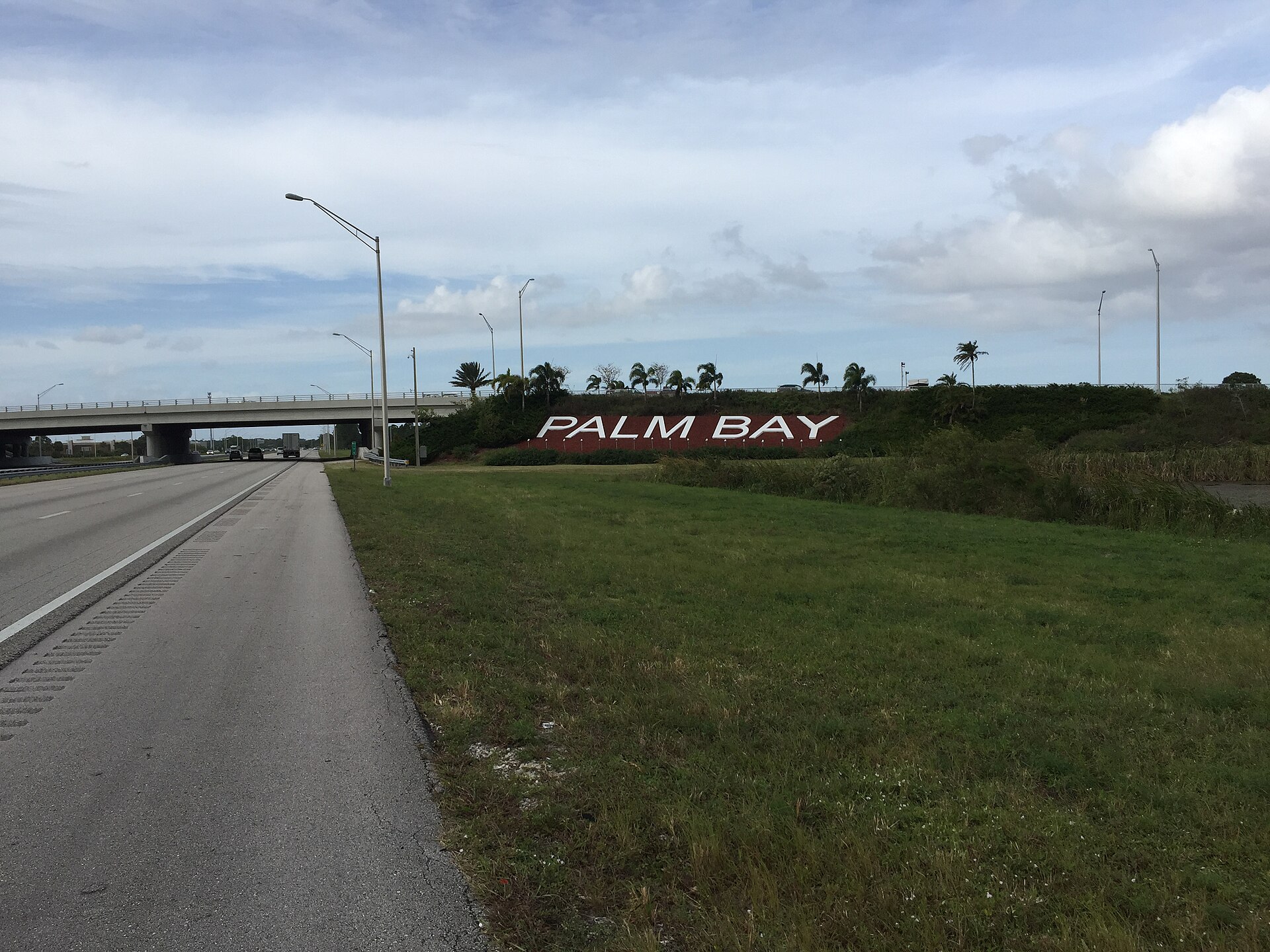
Palm Bay Road is the city’s east-west backbone. The road runs from the western foot of the Indian River causeway at the lagoon, across U.S. 1, west through the older Palm Bay neighborhoods, west again through the central GDC subdivisions, and continues west toward the city’s western limit. Beyond the western city boundary, the same alignment continues as county roads and eventually connects to I-95.
The “Boulevard” designation applies, in current naming convention, to the inland portion. Different segments have been re-named over the years as the city has grown and the road’s classification has changed. The current naming convention may differ from the historical naming in some segments.
The early 20th-century alignment
The pre-1960 road network in the Tillman/Palm Bay area was modest. A rough east-west connection existed from the river west toward what would become I-95, but it was sand-and-shell construction, narrow, and prone to flooding during heavy rains. The pre-incorporation road served the small population of the Tillman-era community, the citrus growers along the route, and connections to neighboring communities.
The route corresponded roughly to the current Palm Bay Road alignment, though the specific east-west connection was less direct than the modern road. Curves, dead-ends, and the lack of a formal right-of-way in many segments meant that travel along the corridor was slower and less reliable than it would later become.
The GDC era development
When General Development Corporation began its 1959-onward platting, the company built road infrastructure within its subdivisions according to standards specified by the city (after 1960 incorporation) and the county. The major east-west arterials, including the alignment that became Palm Bay Road in its current configuration, were built or substantially improved by GDC in the 1960s and 1970s.
Initial GDC-era construction was, by current standards, modest. Two-lane asphalt, narrow shoulders, limited drainage, modest right-of-way widths. The roads served the immediate residential function of moving residents through the new subdivisions. They were not designed to handle the traffic volumes the city would eventually generate.
The 1980s-1990s widening
As Palm Bay’s population grew, the east-west traffic load on Palm Bay Road grew with it. By the late 1980s the road was congested at peak hours along multiple segments. The City of Palm Bay and Brevard County, with Florida Department of Transportation participation on segments designated as state roads, conducted multiple widening and improvement projects through the late 1980s and 1990s.
The principal improvements included expansion from two lanes to four lanes (and to six lanes on some segments), addition of turn lanes at major intersections, improved drainage, sidewalks where they had been absent, and signalized control at growing numbers of intersections. The capacity of the corridor increased substantially through these projects.
The construction was disruptive. Palm Bay residents who lived along the road in the 1990s remember years of staged construction. The widening took place in segments to avoid closing the entire corridor, which extended the total construction timeline. Some segments were under active construction for multi-year periods.
The current cross-section
Palm Bay Road in its current configuration is a four-to-six-lane divided arterial along most of its city-limits length. Median treatment varies; some segments have raised landscaped medians, others have painted medians, some have continuous left-turn lanes. Sidewalks are present along most segments; bike lanes or shared-use paths are present along selected segments.
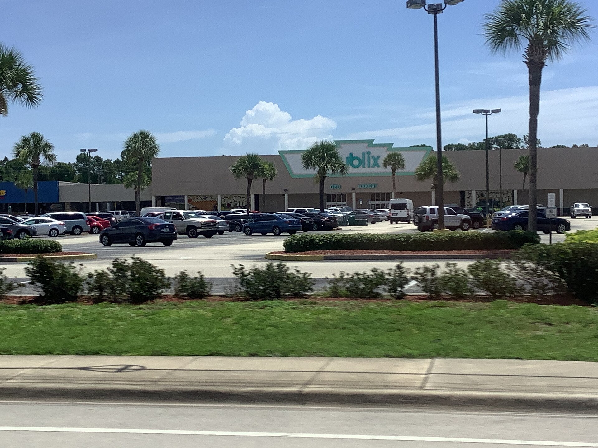
Traffic volume on Palm Bay Road varies by segment. The eastern segment near U.S. 1 carries the highest volumes, related to the connection to the U.S. 1 commercial corridor. Mid-corridor volumes through residential Palm Bay are moderate. Western volumes approaching the city limit decline.
Travel times along the full corridor vary by time of day. Off-peak travel from U.S. 1 to the western city limit is approximately 20-25 minutes. Peak-hour travel can extend significantly due to traffic and signalized intersection delays.
The connection to I-95
Palm Bay Road’s western continuation, beyond the city limits, eventually connects to I-95 at the Palm Bay Road interchange (Exit 173). The interchange has been improved multiple times over the decades; the current configuration is a standard diamond interchange handling significant volumes of traffic moving between Palm Bay and the interstate.
The I-95 connection is functionally critical to Palm Bay. The interstate provides the only high-speed regional connection to Orlando, Tampa, Jacksonville, and Miami. Palm Bay residents commuting to jobs along the I-95 corridor (Cape Canaveral, Melbourne, Cocoa Beach, and points further) generally use Palm Bay Road’s connection to access the interstate.
The interchange’s congestion at peak hours is a persistent issue. FDOT has studied interchange improvements multiple times and implemented incremental upgrades. Larger structural changes have been discussed but generally constrained by cost and right-of-way limitations.
Babcock Street and Minton Road
Palm Bay’s north-south arterial system intersects Palm Bay Road at multiple points, with Babcock Street and Minton Road being two of the principal crossings. Babcock Street runs north-south through eastern Palm Bay, connecting to Melbourne to the north and continuing south into Malabar Township. Minton Road runs north-south through central Palm Bay, connecting various east-west arterials.
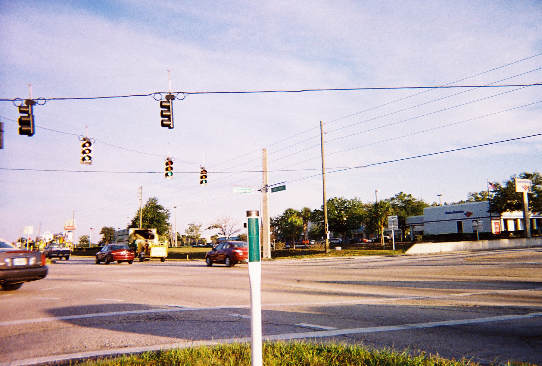
These north-south arterials, like Palm Bay Road, have been progressively widened and improved as the city’s population grew. The intersections of Palm Bay Road with Babcock Street and Minton Road are among the busier in the city, with signalized control, multiple turn lanes, and the typical suburban arterial intersection geometry.
The drainage relationship
Palm Bay Road runs roughly perpendicular to most of the city’s east-flowing drainage canals. Where the road crosses canals, bridges or culverts carry the road over the water. The crossings are significant infrastructure elements that have to be maintained, inspected, and occasionally replaced.
The road itself, like all Palm Bay arterials, contributes to the drainage system. Surface runoff from the road pavement enters the canal system through engineered inlets, drains, and roadside swales. The road’s design has been progressively improved to manage runoff more carefully, with newer construction including water-quality features that filter runoff before it enters the canals.
The future of the corridor
Palm Bay Road’s role as the city’s principal east-west spine will continue. The corridor cannot be relocated; the existing right-of-way, the city’s residential development pattern, and the integration with I-95 all constrain the alignment.
Future improvements will likely be incremental rather than fundamental. Additional signal coordination to improve through-traffic flow. Intersection improvements where specific bottlenecks emerge. Sidewalk and bicycle infrastructure expansion. The basic east-west spine is in place and will continue to function as the city’s most important arterial corridor.
The corridor’s history, from pre-incorporation sand track to modern divided arterial, is a fair compression of Palm Bay’s overall infrastructure history. The city’s transportation system, like the city itself, has been built incrementally over six decades, with each generation of construction layering on top of what came before. Palm Bay Road in 2026 is the city’s most visible single piece of that incremental construction. It will still be the spine in 2050.
Further Reading
As an Amazon Associate we earn from qualifying purchases.